St. Clair River Projects
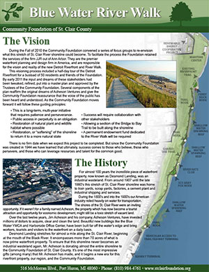
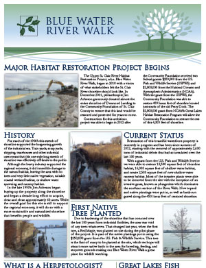
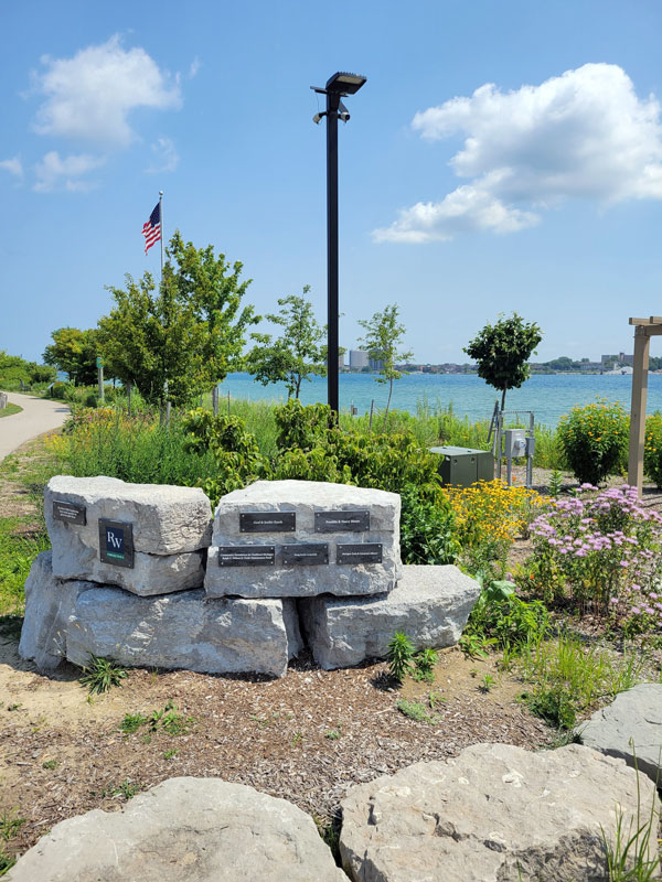
Blue Water River Walk
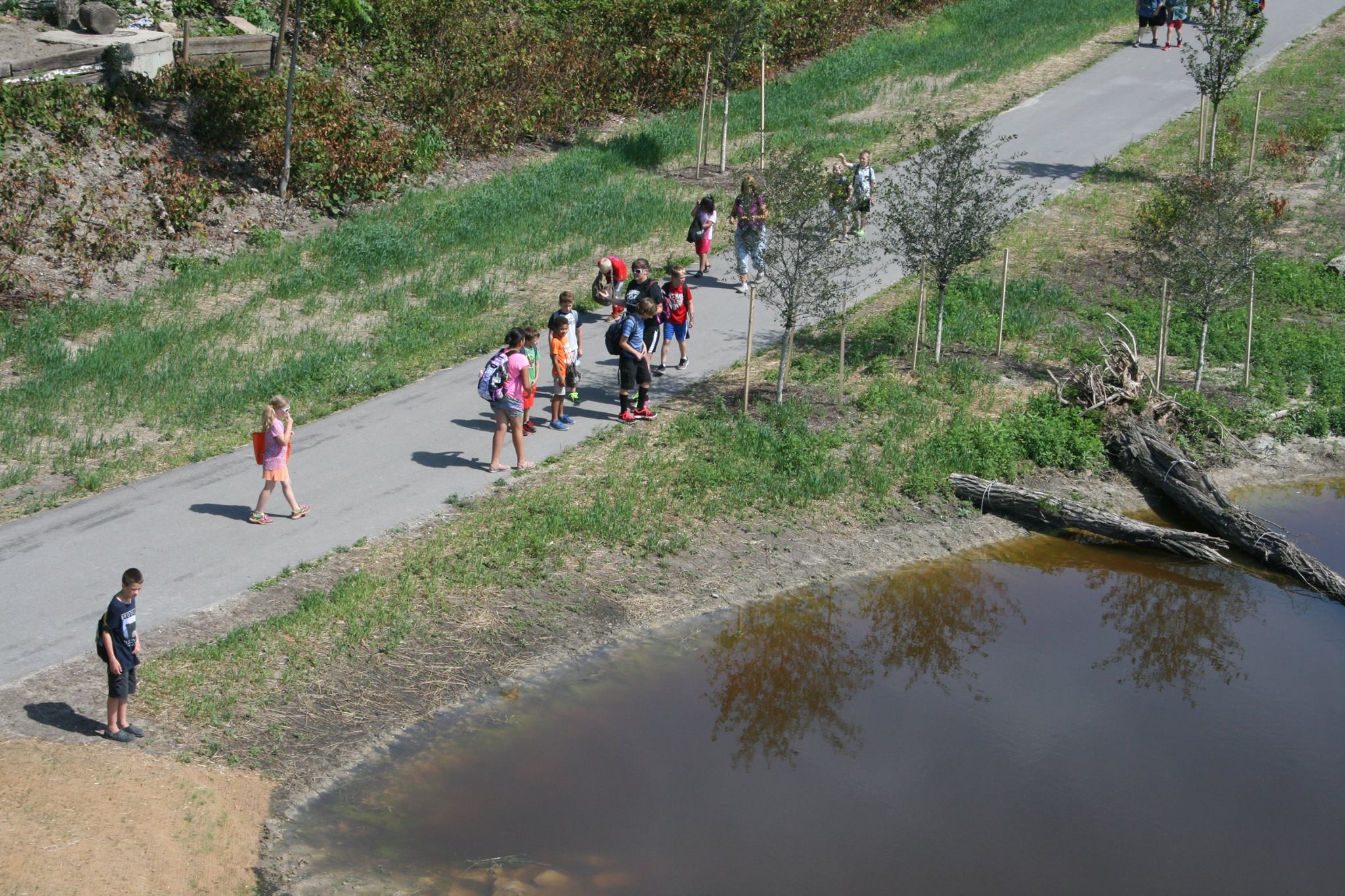
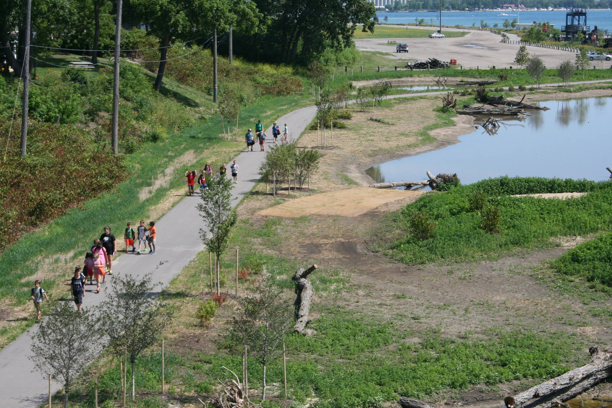
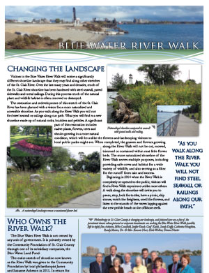
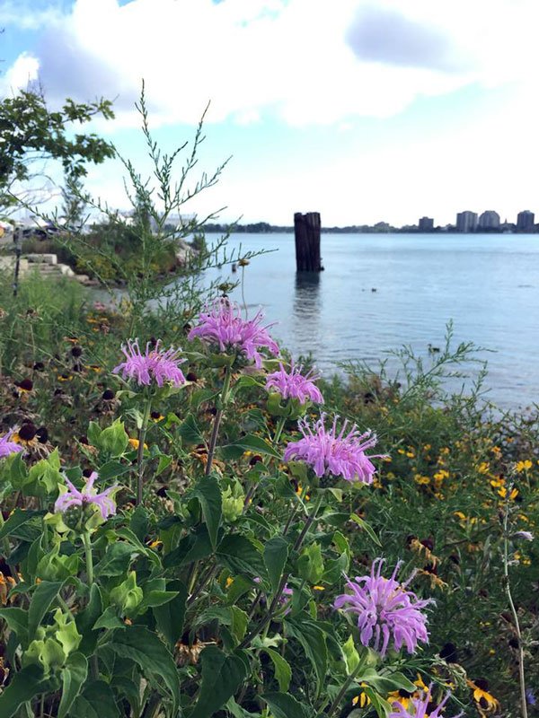
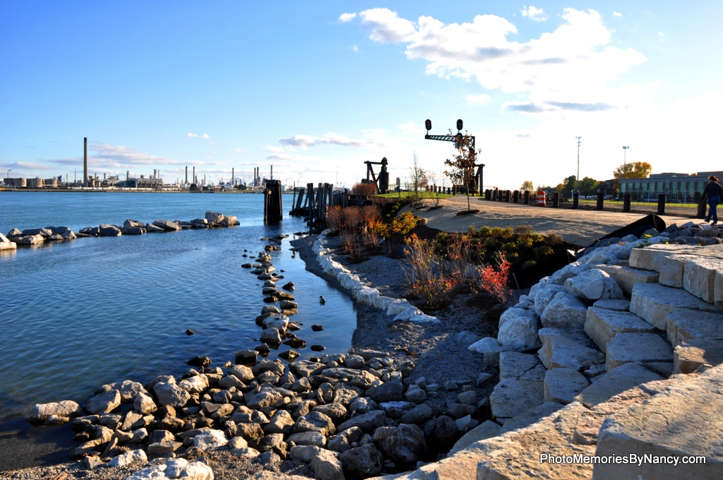
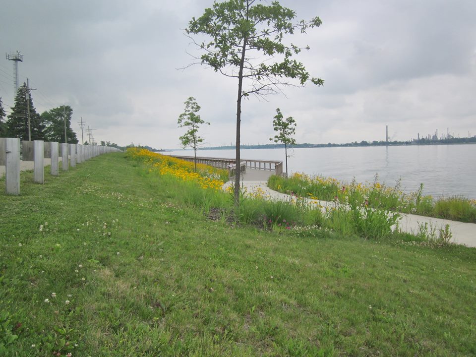
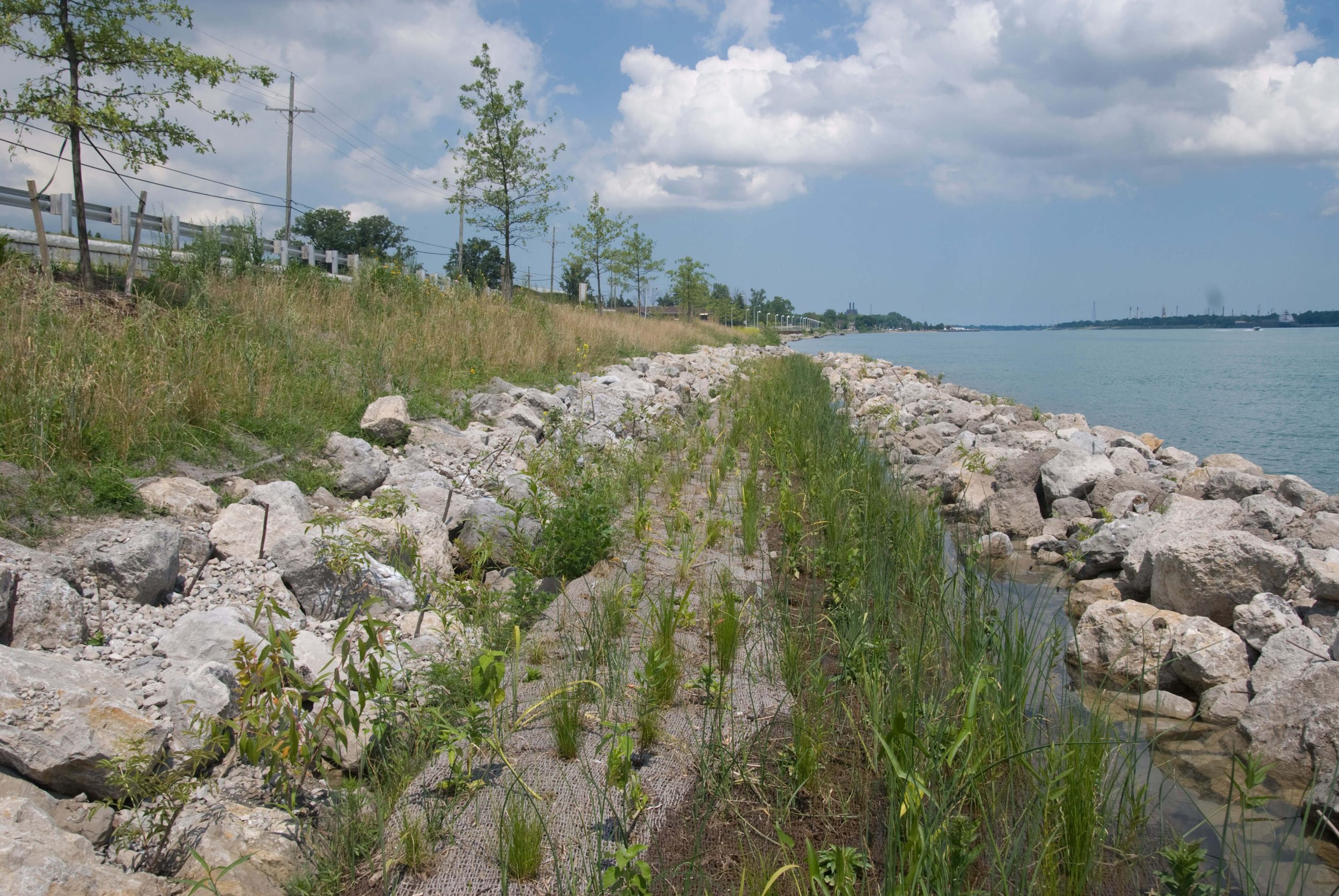
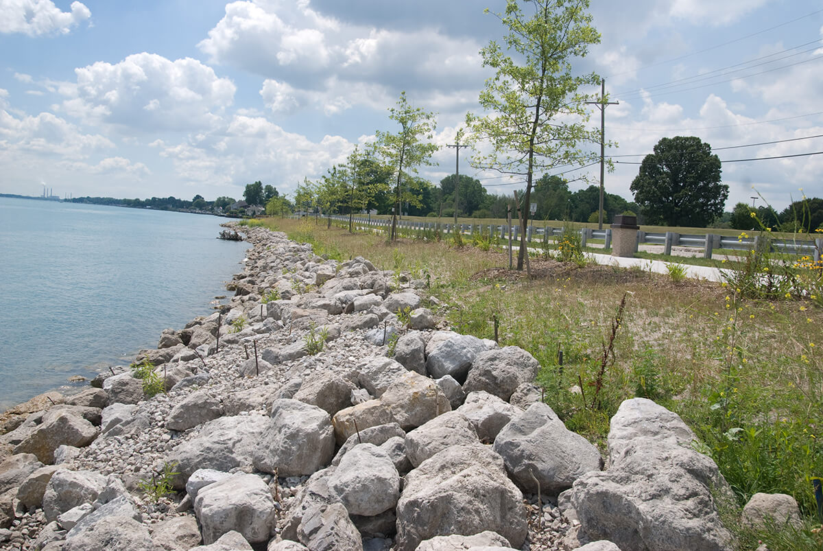
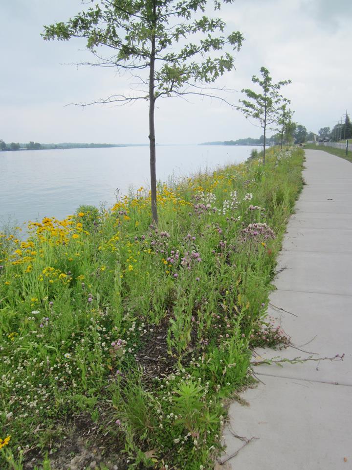
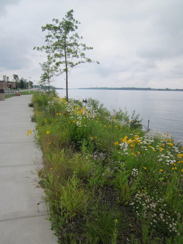
This major habitat restoration project along the St. Clair River in Port Huron began in 2010. Desmond Landing started out as a mile-long stretch of industrial wasteland, but when this project finished in June 2014, it became a beautiful shoreline with suitable habitat for fish and wildlife. With a restored and naturalized shoreline, the River Walk is safer and has more places for public to access the water in this primarily urban landscape. Native plants are critical to this habitat project in that they will produce the most suitable habitat for native fish and wildlife and offer protection for the shoreline. This is one of nine projects completed under the “DELISTING TARGETS FOR LOSS OF FISH & WILDLIFE HABITAT BENEFICIAL USE IMPAIRMENT OF THE ST. CLAIR RIVER AREA OF CONCERN” that gets us one step closer to removing this BUI from the St. Clair River.
Read About the Blue Water River Walk's History
River Walk Celebrates a 10 Year Milestone
10 Year Anniversary Blue Water River Walk
Blue Water River Walk Fact Sheet
St. Clair Community Foundation Blue Water River Walk Website
Blue Water River Walk 10 Year Celebration
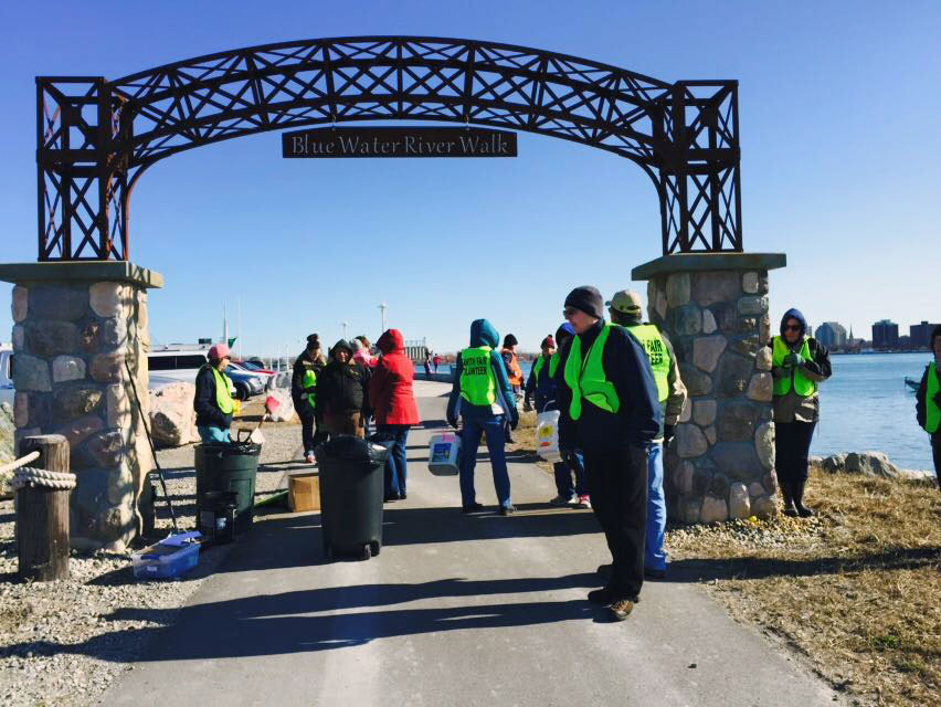
The Blue Water River Walk celebrated 10 Years during a free, community event on Tuesday, September 17, 2024. We enjoyed an evening outdoors on the St. Clair River with live music, a bonfire, and catered food set against the backdrop of September's full moon. The event took place on the Ferry Dock at the Blue Water River Walk, 51 Court Street in downtown Port Huron.
The evening included river history reenactment with Andrew Kercher, live community art with Jody Parmann, and a commemorative 10-year gift, followed by a shoreline tour with the Trailblazers.
The Blue Water River Walk ribbon cutting in 2014 celebrated the restoration of 1-mile of industrial shoreline waterfront in Port Huron. During three years of construction, 7,000 tons of debris were removed making way for a new era for the riverfront. The River Walk represents more than $6 million invested to heal the environment, stimulate economic development, and provide recreation along the St. Clair River.
This event was generously co-sponsored by the Community Foundation of St. Clair County, St. Clair County Parks and Recreation Commission, and Friends of the St. Clair River.
Port Huron North
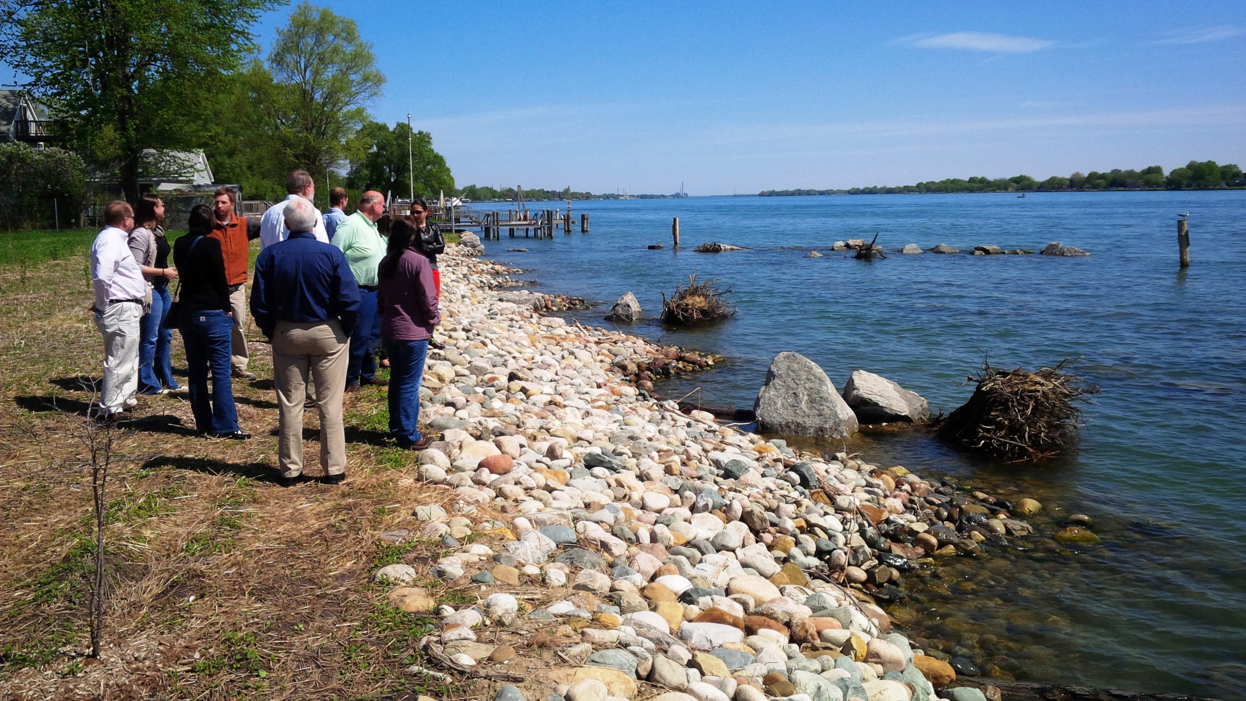
Near Pine Grove Park, just south of the Hollyhock, the shoreline restoration was completed in 2012. The project was led by the city of Port Huron.
See Fact Sheet
-
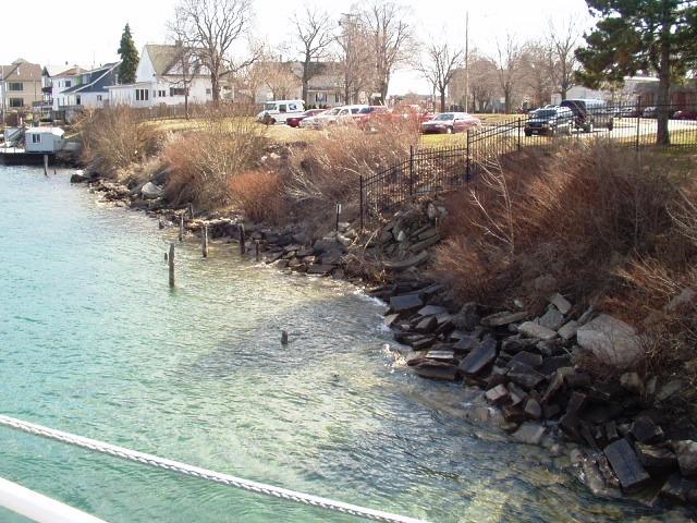
- BEFORE
-
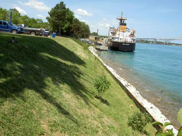
- AFTER
Marysville's Living Shoreline
Marysville Fact Sheet 1
Marysville Fact Sheet 2
In-River Habitat Restoration
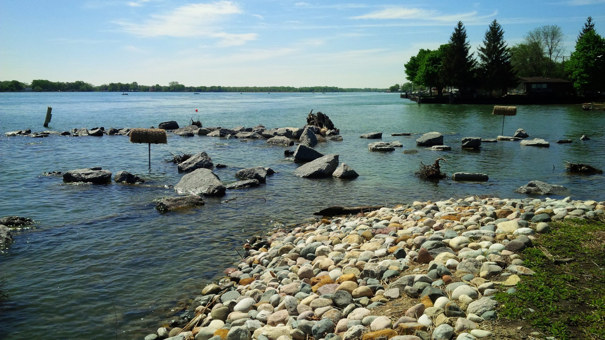
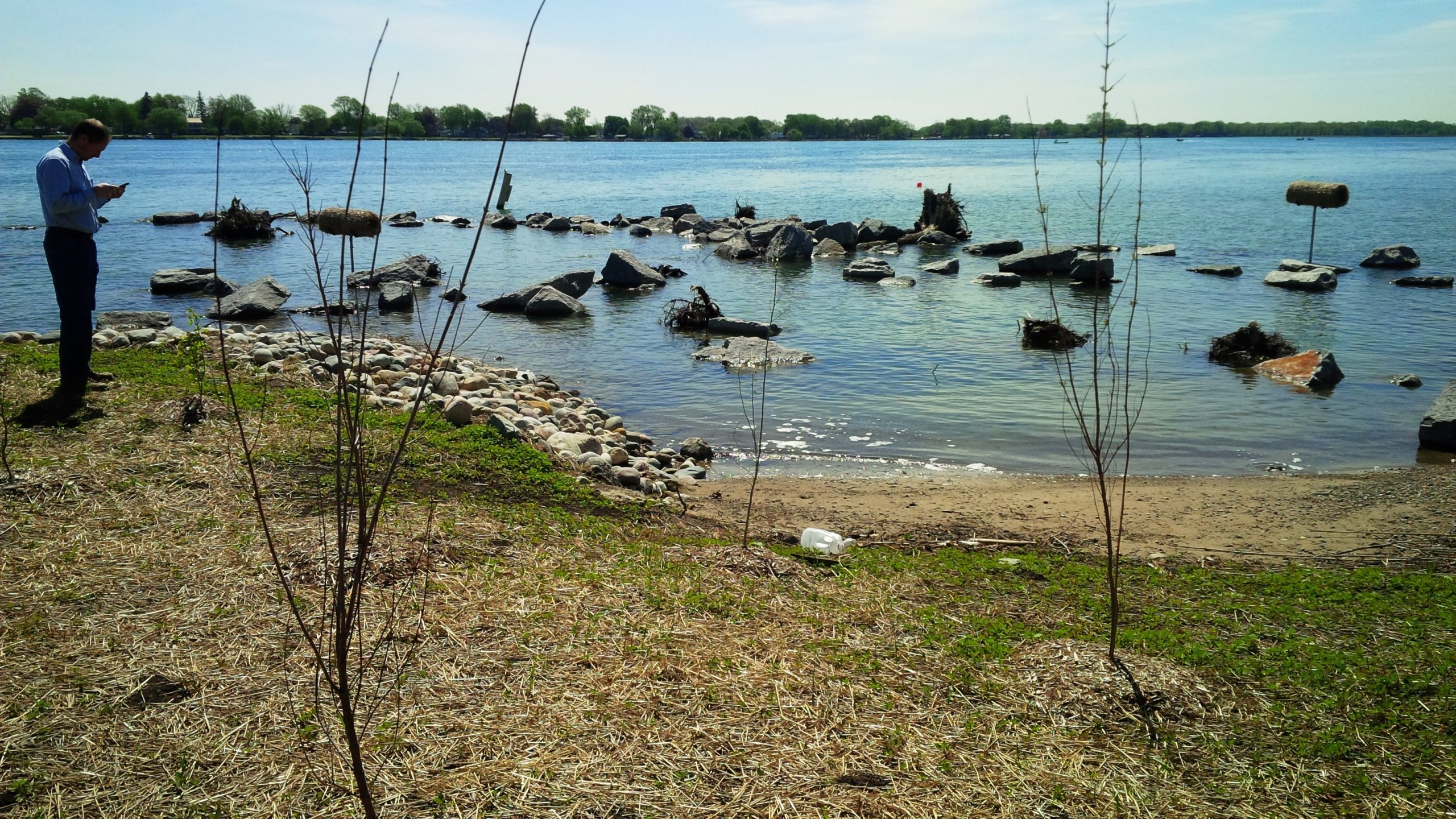
These artificial reef habitats for fish are in the St. Clair River near Algonac. At least one habitat was finished in 2013. Two reef habitats were completed in summer 2014 near Algonac Hart’s Light at Marine City.
Reef Creation Photo Album
Restoration Project Update
MI SeaGrant: Videos of reef construction
Restoring Fish Habitat in the St. Clair River Fact Sheet
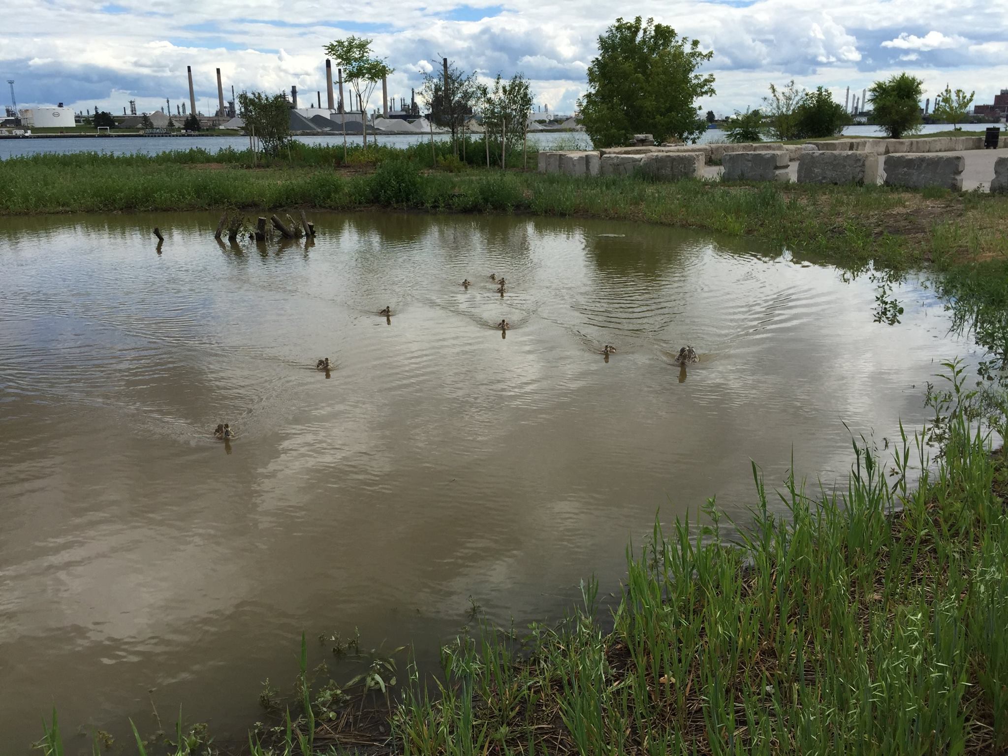
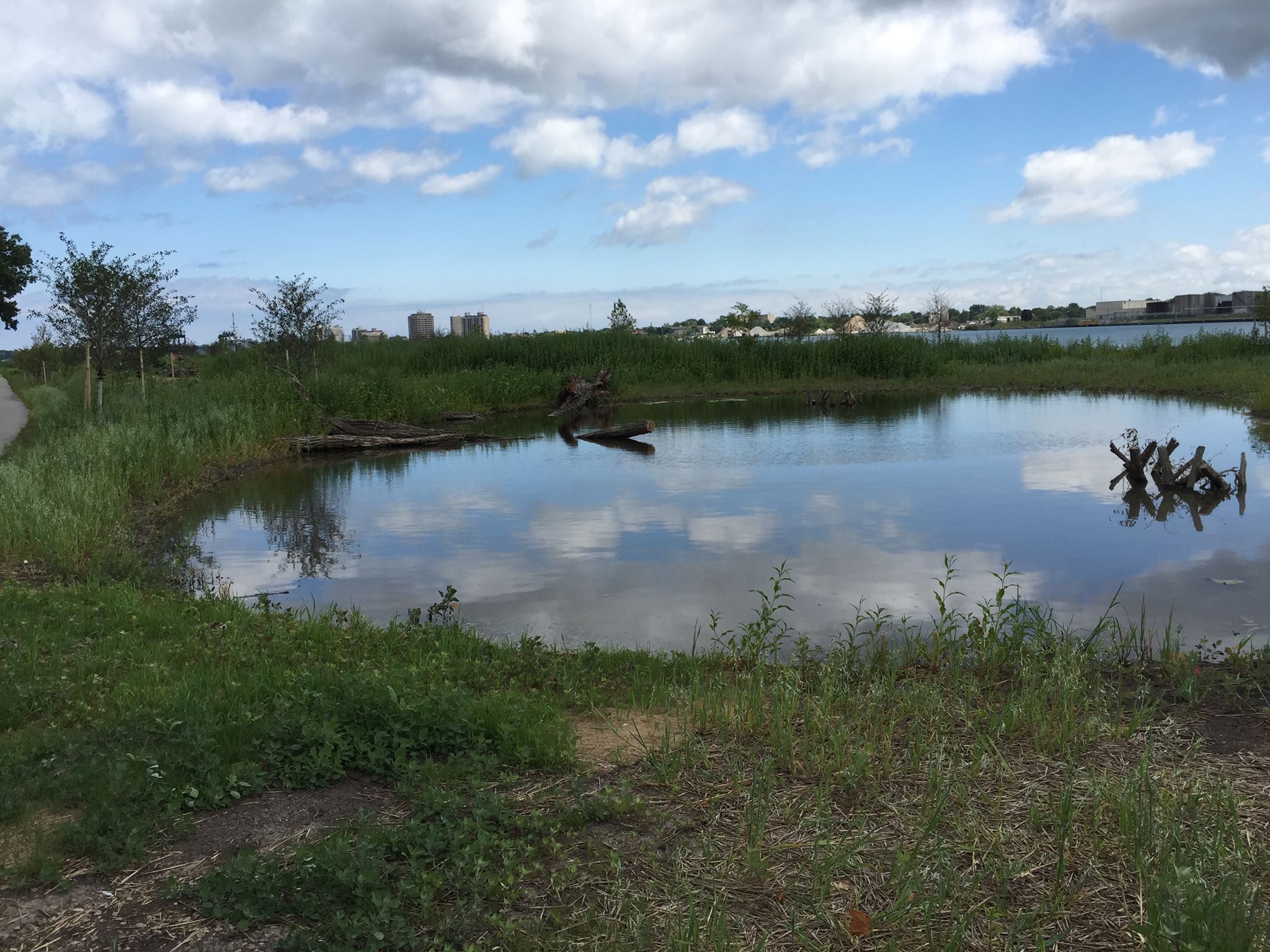
River Walk Wetlands
GLRI money also is helping to finance wetland construction at the south end of the Blue Water River Walk which will become St. Clair County Park and Recreation’s newest county park. Click here for a map and directions to the Blue Water River Walk County Park.