BLACK RIVER
WATERSHED
About the Black River Watershed
Jump to Section:
Watershed Location and Size
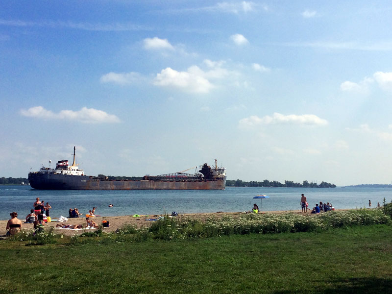
The Black River drains 333 mi2 of land throughout St. Clair, Sanilac, and Lapeer Counties, flowing past Yale, Avoca, and Wadhams on its way to Port Huron where it meets the St. Clair River. Mill Creek is a major eastern tributary of the Black River that flows into the main branch in the wooded and picturesque Port Huron State Game Area in Clyde Township.
Watershed Wildlife
Native wetland plants growing in the Black River offer in-stream habitat to a variety of fish and wildlife. Upland, the Black River Watershed is prime for game species including white tailed deer, turkey, and upland game. Wooded habitats shadowing the river offer a variety of songbirds, and the endangered painted trillium can be found in moist forests dominated by red maple, paper birch, and oak.

Native waterlilies provide habitat for fish and wildlife.


Watershed History
Prior to European settlement, the Black River Watershed offered a plethora of fish and game, wild fruits, herbs, and corn. However, in the early 1800s, the landscape began changing as settlers cleared the land for the logging and agricultural industries. During the late 1800s and early 1900s, Port Huron began to grow, and manufacturing industries and shipyards opened along the river. Unregulated discharge practices at this time caused the Black River to become so polluted that in 1912, the City of Port Huron constructed a canal from Lake Huron to the Black River to dilute the polluted water and help flush it out. The Clean Water Act of 1970 established stringent water quality standards, and processes began to regulate point and nonpoint source pollution. Today, local municipalities and industries work together under a National Pollutant Discharge Elimination System (NDPES) permit system to maintain strict standards regarding potential pollution discharges.
Black River Watershed Health
Water Monitoring
Although significantly cleaner than 100 years ago, the Black River still has its challenges. Non-point source pollutants are now the primary concern for the Black River including:
- Excess nutrients from failing septic systems, lawn and garden activities, and agricultural runoff.
- Sediment from agricultural runoff, channelized drainage, new development, and dirt/gravel roadways create silty waterways that blankets important in-stream habitat for fish and macroinvertebrates.
- Chemicals and pesticides can find their way into the water from leaking landfills or historically contaminated sediments. Improper application of chemicals by residential, commercial, or agricultural producers may cause excess products to runoff into the waterways.
- Flashy hydrology increases with land development due to increased impervious surfaces, and stream channelization.
- Bacteria from failing septic systems, unrestricted livestock access to water, and large congregations of geese and seagulls.
- Thermal pollution is created when rainwater runs over heated impervious surfaces and flows to a waterway, unnaturally increasing water temperature.
Agricultural fields to the river’s edge along with channelization lead to increased erosion potential and flashy hydrology.
Successes
- All combined sewage overflow drains were separated, significantly reducing the potential for sewage overflow into the river.
- Local communities are installing green infrastructure such as rain gardens to catch, clean, and cool stormwater before it flows into the river.
Challenges
- Failing septic systems are a contributing factor for nutrient and bacteria loads into the Black River.
- Invasive species such as invasive phragmites and purple loosestrife threaten shoreline habitat for fish, wildlife, and recreationists.
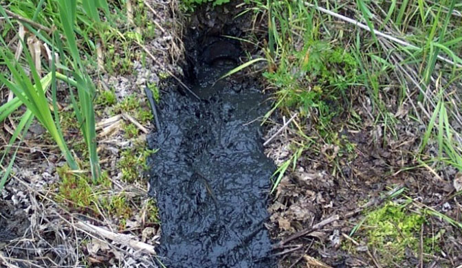
Sewage from failing septic system
Action
- Fencing livestock out of streams prevents sedimentation and excess nutrient and bacteria release.
- Maintaining green infrastructure including rain gardens or buffer strips containing native vegetation helps control erosion and stabilize riverbanks.
Black River Watershed Recreation
Recreation
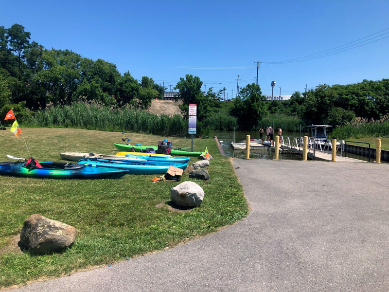
Recreation opportunities abound on the Black River. The following are some local favorites:
- Pleasure boaters and kayakers alike enjoy the black river’s wide breach.
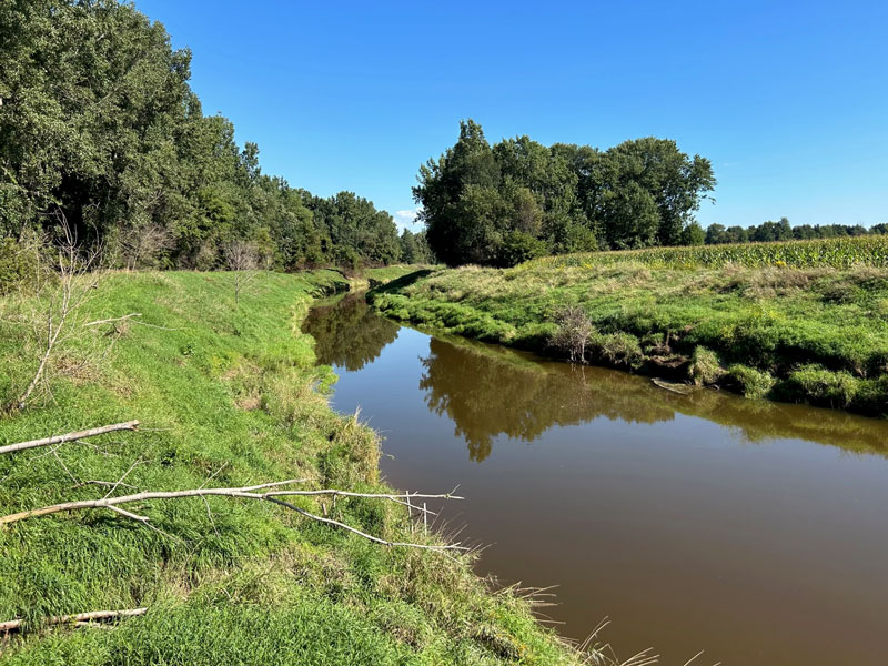
- Kayaking, canoeing and paddleboarding are popular water sports further upstream and the black river narrows.
- Bird watching is a popular activity along the shorelines with the surrounding wooded shorelines.
- Many families enjoy fishing the Black River as they visit one of the many parks found along the shoreline.
Watershed Management Plan
Watershed planning is rooted in achieving the best water quality possible for Michigan’s waters. The goal of a Watershed Management Plan is to prioritize the sources of water quality pollutants, assess historical changes the watershed has undergone, and identify future water and land use challenges. Since 2005, the St. Clair County Health Department has led watershed management planning efforts to assess current water quality conditions and identify projects that will help protect and restore our natural resources. The Black River Watershed Management Plan can be found below as part of the Northeast Watershed Management Plan.
Watershed Advisory Groups were formed to assist with the development of these plans comprised of citizens, organizations, agencies, and municipalities that have jurisdiction over land use and stormwater. As a result, these plans have prioritized projects and actions needed to restore, enhance, and protect the St. Clair River Watershed’s rivers, tributaries, and headwaters.