ST. CLAIR RIVER
WATERSHED
About the St. Clair River Watershed
Jump to Section:
Watershed Location and Size
The St. Clair River connects Lake Huron to Lake St. Clair and drains land in both Michigan and Ontario, Canada. The mouth of the St. Clair River flows into the largest freshwater delta in the eastern United States as it meets Lake St. Clair, creating Harsens Island and the Canadian Walpool Island First Nation among others. This 34-mile-long binational waterway flows at a rate of 1,360,000 gallons per second, that’s nearly enough water to fill an Olympic-sized swimming pool every second!
Watershed Wildlife
The St. Clair River boasts the one of the largest breeding populations of Lake Sturgeon in the Great Lakes. Although only 1% of its original population, this endangered fossil is making a comeback thanks to the tireless efforts of many partners on both sides of the river.

Endangered Lake Sturgeon


Watershed History
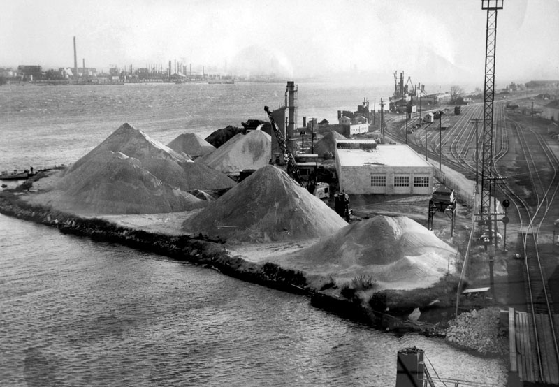
Wetlands and swamps historically comprised a large portion of the landscape surrounding the St. Clair River. Prior to 1970, European settlement brought unregulated developmental practices that allowed various types of industries, including logging, chemical manufacture, and agriculture to log forests, drain wetlands, channelize streams, and introduce chemicals and increased sedimentation into the St. Clair River. The Clean Water Act of 1970 established strict water quality standards and commenced the restoration efforts of the St. Clair River.
Location: where Black River meets the St. Clair River
St. Clair River Watershed Health
Water Monitoring
In 1988 the St. Clair River was identified as an Area of Concern due to significant historical pollution. Fourteen environmental parameters that indicate significant environmental degradation called Beneficial Use Impairments (BUIs) are recognized, and at that time of AOC listing, 10 of the 14 BUI’s were considered impaired on the United States side of the St. Clair River. As of 2021, all but two of the beneficial use impairments have been restored.
For more information on the status of the Area of Concern, please visit the following websites:
Successes
- Great Lakes Restoration Initiative (GLRI) provided $21 million in funding for 10 habitat improvement projects that covered 13 location projects across the AOC.
- All but two Beneficial Use Impairments have been restored in the St. Clair River.
- The river provides fresh drinking water to 60% of St. Clair County residents.
- Lake Sturgeon populations are increasing thanks to enhanced water quality and protection efforts of many local partners.
- The St. Clair River is home to Michigan’s first National Water Trail, The Island Loop.
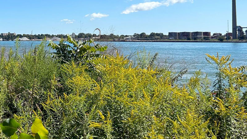
Habitat Improvement Project
Challenges
- Fish consumption advisories still exist in many species of sport fish in the St. Clair River.
- Invasive phragmites is common along St. Clair River shorelines and degrades shoreline habitat.
Action
- Continued invasive species management of phragmites and European frogbit is important to maintain instream and shoreline habitat.
- Replacing sea walls with natural shoreline helps increase habitat, erosion control and storm water filtration.
St. Clair River Watershed Recreation
Recreation
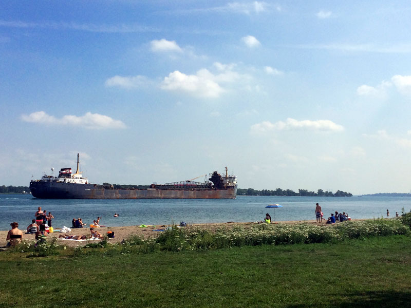
The St. Clair River offers a variety of recreation opportunities for all ages, interests, and abilities. These are some local favorites:
- The Bridge to Bay Trail follows the St. Clair River shoreline, traversing through the many communities found along the river.
- Many sandy swimming beaches are found along the shoreline.
- The water offers world-class scuba diving, boating, and freighter-watching.
- Premier waterfowl hunting abounds where the St. Clair River meets Anchor Bay, especially in the St. Clair Flats and Harsens Island.
- The St. Clair River is a fishing hotspot, boasting excellent walleye production and regular salmon runs.
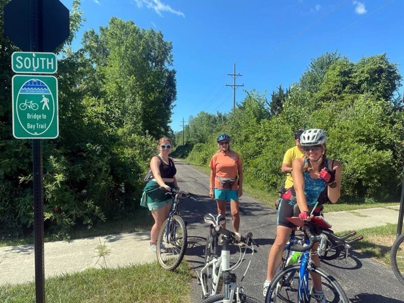
Bridge to Bay Trail
Watershed Management Plan
Watershed planning is rooted in achieving the best water quality possible for Michigan’s waters. The goal of a Watershed Management Plan is to prioritize the sources of water quality pollutants, assess historical changes the watershed has undergone, and identify future water and land use challenges. Since 2005, the St. Clair County Health Department has led watershed management planning efforts to assess current water quality conditions and identify projects that will help protect and restore our natural resources. The Black River Watershed Management Plan can be found below as part of the Northeast Watershed Management Plan.
Watershed Advisory Groups were formed to assist with the development of these plans comprised of citizens, organizations, agencies, and municipalities that have jurisdiction over land use and stormwater. As a result, these plans have prioritized projects and actions needed to restore, enhance, and protect the St. Clair River Watershed’s rivers, tributaries, and headwaters.